Illustration of layered green ridges with snowy tops above a spruce forest, a pale sun, and a post with a red-and-white trail marker beside a path.

A hiking journal from the Romanian Carpathians

Carpathian Notes

Ridges, glacial lakes, high roads and wooden villages, written up after the walk while the boots are still drying by the door.

I'm Ilinca. I live in Brașov and spend as many weekends as I can in the mountains that curve around the middle of Romania. This is where I write up those trips: what the walk was really like, what surprised me, and what I'd tell a friend before they went.

It isn't a guidebook. Each note starts with a small trail card that gives a rough idea of distance, effort and the best season. The rest is the story of the day. Before any trip into the high mountains, check current conditions with the local mountain rescue (Salvamont) and the park offices. They know far more than I do.

Latest notes

The most recent trips from the 2026 season, newest first.

Maramureș

Wooden churches and quiet villages of Maramureș

Distance
5–15 km a day
Effort
Easy
Season
Any; best Sep–Oct

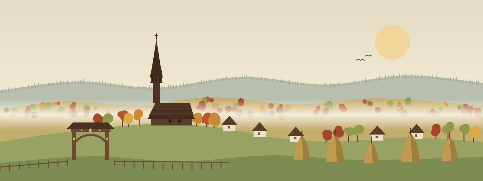
An autumn week of easy walking between villages, wooden churches with needle-thin spires, carved gates and haystacks in the morning mist.

Făgăraș

Driving the Transfăgărășan, slowly

Distance
A full day's drive
Effort
Easy walks
Season
Summer to early autumn

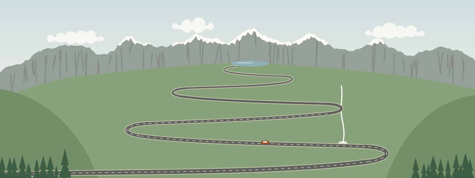
The famous hairpins over the Făgăraș on a quiet September weekday, a short walk above Bâlea Lake, and a few firm words about feeding bears.

Retezat

Three days among the glacial lakes of the Retezat

Distance
~35 km over 3 days
Effort
Hard
Season
Jul–Sep

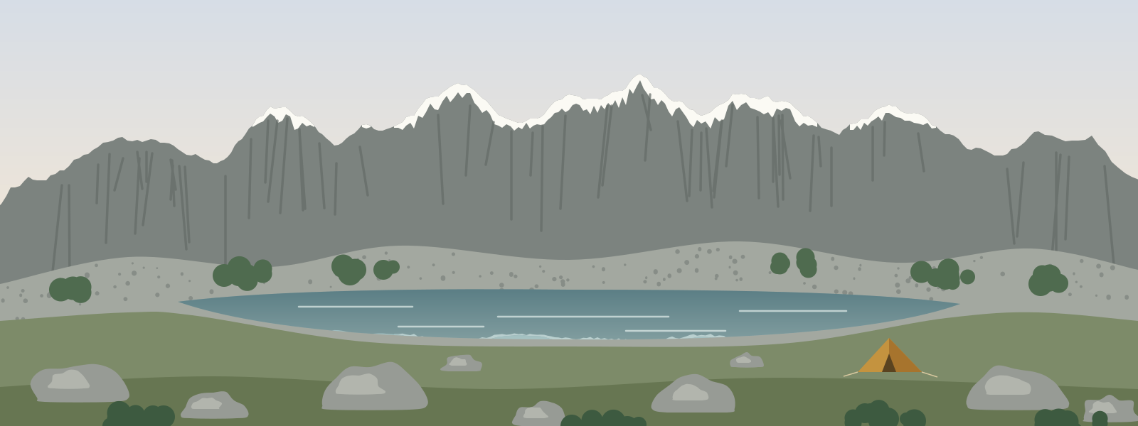
Slow days among granite boulders and cold blue lakes, a night of lightning over Bucura, and sunrise on the highest peak of the range.

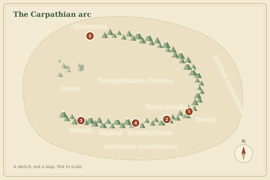
Stylised sketch of the Carpathian arc curving around the Transylvanian Plateau, with five numbered pins: 1 Bucegi and 2 Piatra Craiului near the bend of the arc, 3 Retezat in the far west, 4 Făgăraș and the Transfăgărășan along the southern arc, and 5 Maramureș in the north.
A sketch, not a map. For navigation, use a proper topographic map of the area.

Where the notes are

The Carpathians sweep through Romania in a great arc. Four of this year's notes come from the southern part of that arc, and one from the far north.

  1. Bucegi plateauHigh, rolling grassland above the cliffs of the Prahova valley.
  2. Piatra CraiuluiA long, narrow limestone ridge above Zărnești.
  3. RetezatGranite peaks and glacial lakes in the west of the Southern Carpathians.
  4. Făgăraș and the TransfăgărășanThe high road across the country's highest range.
  5. MaramureșVillages, wooden churches and low hills in the far north.

Before you go

A couple of pages I keep sending to friends who are planning their first trip.