
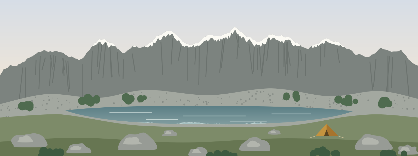
If Piatra Craiului is a single sharp line, the Retezat is a whole landscape. It sits in the west of the Southern Carpathians, a knot of granite peaks and high basins scooped out by glaciers long ago, and it is famous for its lakes: dozens of them, from tiny dark tarns to wide sheets of water. It is also one of the oldest protected areas in Romania, and it feels like it: big, quiet and a little wild.
I had three days at the end of August and a rough plan: walk in from the north, spend a night at a hut, cross into the high lake basins, camp, climb something at sunrise and walk out again.
Walking in
The first day was mostly forest. From the end of the road a broad path climbs gently beside a stream through beech and then spruce, and the air gets cooler with every hour. By the afternoon I was at a hut near the edge of the trees, where a handful of other walkers were drying socks on the fence and comparing plans. The talk was all about the weather: a couple of clear days, with storms possible later in the week.
Into the basins
The second morning is when the Retezat starts to show itself. The path leaves the trees and climbs through thick dwarf pine, then into open basins of grass and granite boulders, and suddenly there is water everywhere: small dark pools, long lakes held back behind ridges of moraine, streams running between the stones. The bilberries were ripe, and I was slower than I should have been.
Walking here is different from the limestone ridges further east. The rock is grey granite, rough and grippy, and the paths often cross boulder fields where you hop from block to block, following the painted markers on the rocks rather than a trodden line. It's slow going, and I didn't mind. Every time I stopped to catch my breath there was another lake below me, a slightly different shade of blue each time.
Bucura
By early afternoon I came over a col and looked down on Bucura, the largest glacial lake in Romania. It fills the floor of a wide basin ringed by peaks, and on a calm day the ridge above it is reflected in the water. I pitched my tent in the area where camping is allowed (the park is strict about this, and rightly so) and spent the rest of the day doing almost nothing: reading, watching the light move across the water, and following a few chamois as they picked their way along the screes.
That night the storm everyone had been talking about arrived early. It wasn't a big one, but lightning over the lake is something I'll remember for a long time, and so is the sound of hard rain on a thin tent high in the mountains. By morning it had passed, leaving the air washed clean.
Peleaga at sunrise
I got up in the dark and climbed Peleaga, the highest peak of the Retezat at just over 2,500 metres. The path from the basin is steep but straightforward in good conditions, and I reached the top as the sun came up. From there you can see what the glaciers left behind: lake after lake strung out in the basins below, each one in its own bowl of granite.
The last day was a long walk out, down through the dwarf pine and the forest, with sore legs and the satisfying tiredness of three days that had gone more or less to plan.
Practical notes
- Camping is only allowed in certain places in the national park. Check the current rules with the park before you go.
- Boulder fields are slow. Plan shorter daily distances than you would on an ordinary trail.
- Storms are common in summer and build quickly. Stay off summits and open ridges when one is coming.
- There is water in the high basins, but filter or treat it, and keep soap and food scraps well away from the lakes.
- Bears live in the forests here. Store food properly at night and make some noise on forest paths.