
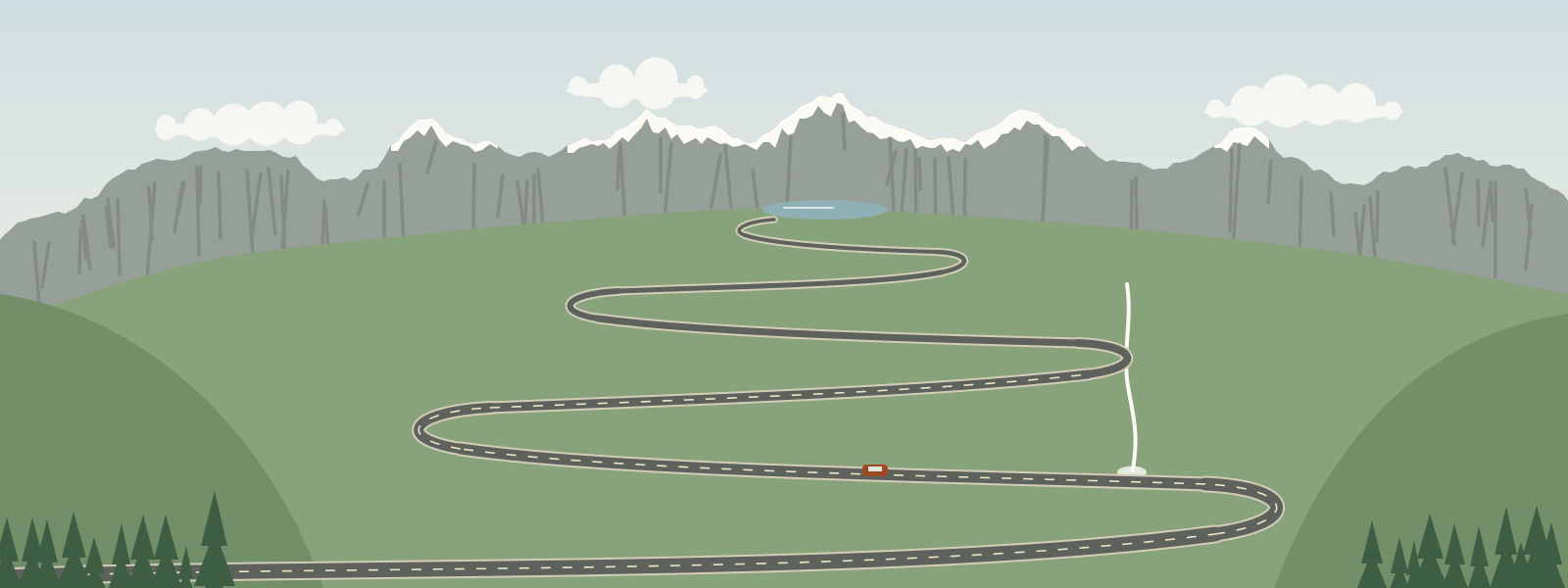
I've put off writing about the Transfăgărășan because so much has been written about it already. It is the road everyone has seen in pictures: a grey ribbon of hairpins climbing a green mountainside and disappearing into the clouds. Built in the early 1970s across the Făgăraș mountains, the highest range in Romania, it is a remarkable piece of engineering and, on a busy summer weekend, a remarkable traffic jam. So I went on a weekday in September, and I recommend doing the same.
The northern climb
We started from the north side before sunrise. The road leaves the farmland of the valley and enters the forest almost at once, and for a while it is simply a pleasant mountain road through beech and spruce. Then the trees thin, the valley narrows into a great amphitheatre of grass and rock, and the hairpins begin.
This is the part that makes the road famous, and it deserves its reputation. The bends stack one on top of another up the headwall, with stone walls along the edges and a waterfall coming down the slope beside you. It's hard to drive and look at the same time, so we stopped often at the wider places and let faster cars go past. There's no prize for reaching the top first.
Bâlea Lake and the ridge
At the top, a little over 2,000 metres up, the road reaches Bâlea Lake, a glacial lake in a rocky bowl just below the main ridge, before it goes through a tunnel to the southern side. At eight in the morning there were only a few people at the lake, and the water was perfectly still.
We left the car and walked up one of the paths towards the ridge for an hour or so. You don't have to go far to leave the road behind: within half an hour the engine noise is gone, the lake is a small mirror below you, and the main crest of the Făgăraș runs away east and west in a line of grey peaks. It was cold and windy even on a clear day, and the hat and gloves I had nearly left at home turned out to be the most useful things in my bag.
The long way down
The southern side is a completely different road. It is long and winding and mostly in the forest, following a valley down to a big reservoir held back by a tall concrete dam. There are fewer viewpoints and many more bends, and it takes much longer than you'd guess from looking at a map.
This is also where we met the bears. Several were waiting by the roadside, calm and very used to cars, because people feed them through their windows. It's tempting to stop and take pictures. Please don't feed them, don't get out of the car, and don't linger. A bear that has learned to expect food from cars is a danger to people and, sooner or later, to itself.
Further down, near the dam, the ruins of a medieval fortress sit on a crag above the valley, reached by a long flight of steps. We were too tired by then to climb them, which gives me an excuse to come back.
Practical notes
- The high section of the road is closed for much of the year because of snow. It usually opens in early summer and closes again in autumn, but the dates change from year to year. Check the current status before you plan around it.
- Even in summer the top can be cold, foggy or stormy. Bring warm clothes.
- Go early, and on a weekday if you can. Summer weekends can be very crowded.
- Start with a full tank and drive within your limits. The bends are tight and other drivers are often looking at the view.
- Don't feed the bears, and stay in your car when they are close.